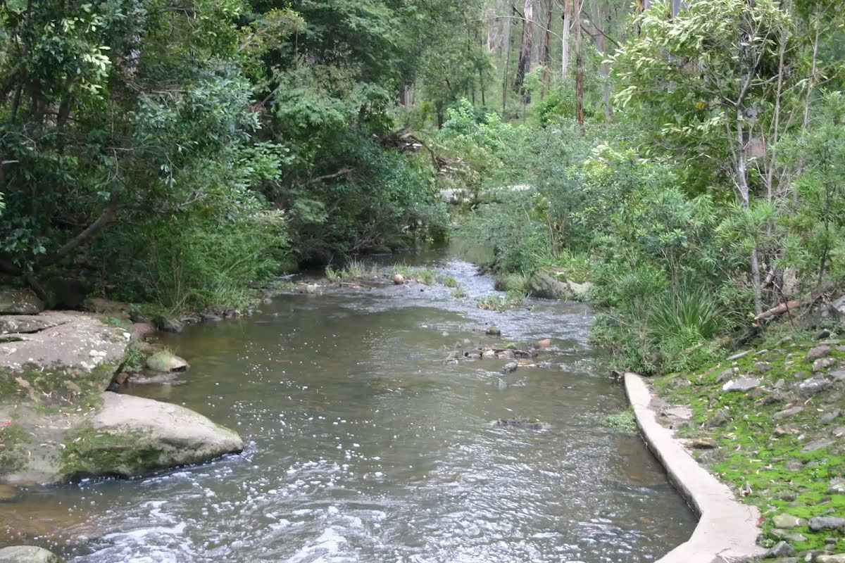
This is a short walk down into the Lane Cove Valley, crossing the Lane Cove River, and out the other side. The entire track is concrete, making it a favourite trail for bike riders taking the short cut from Turramurra to Maquarie University. There are picnic tables at Browns Water Hole. Let us begin by acknowledging the Darug people, Traditional Custodians of the land on which we travel today, and pay our respects to their Elders past and present.
Some of the information and maps on this page was generated using data from the awesome
© OpenStreetMap contributors.
Please see how you can
embed some widgets, access data and other stuff to that might be helpful.